ALL MISSIONS

FIELD LOG 03

Civic interface

Speculative concept chapter

WAYFINDER

A route is only useful if everyone can take it.

KAI overlooking a dense city with clear orange paths across rooftops and bridges

VIEW SCENE

ROLE

Mapping concept, interaction, visual system

YEAR

2146 / fictional

SKILLS

Mapping UI / Inclusive design / Responsive systems

CHAPTER

THEN, WE FOUND A WAY THROUGH.

01

THE BREAK

Old maps assumed that elevators, ramps, and transit signals still worked. People needed routes based on current, shared conditions.

02

THE IDEA

A resilient local route map with clear accessibility markers, human-confirmed updates, and visible alternatives rather than one opaque recommendation.

03

THE BUILD

The case explores a large-format kiosk, a small-device view, and a route language based on strong orange paths and lime confirmation nodes. Critical directions use text and shape, never color alone.
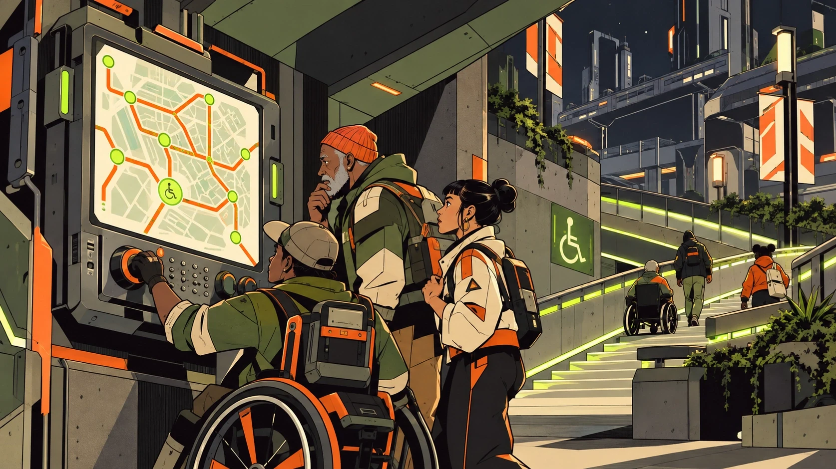
Neighbors using an accessible route kiosk beside a lit ramp

Neighbors using an accessible route kiosk beside a lit ramp

04

THE INTERACTION

On desktop, clicking one of three route markers updates a companion route caption. On mobile, use a static accessible list.

05

WHAT CHANGED

The map becomes a promise that more people can move through the city together.

Narrative demo copy — not a performance claim

06

FIELD NOTE

Disconnected streets and dead transit screens make Vela difficult to cross. KAI maps safe paths with neighbors.

Create a free website with Framer, the website builder loved by startups, designers and agencies.